The oldest dinosaur footprints in Australia
Discover why the 130 million year old dinosaur trackways found in the Broome Sandstone are culturally and scientifically important.
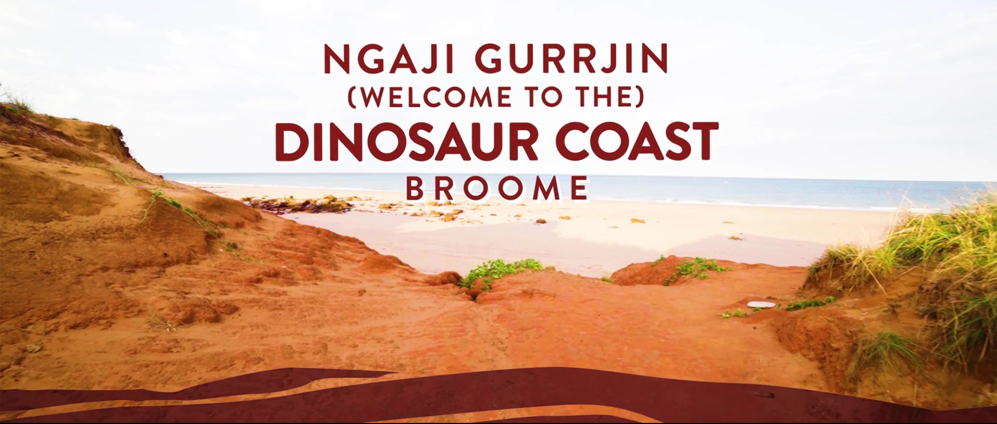
The Dinosaur Coast
The Dinosaur Coast includes over 100kms of coastline of the Dampier Peninsula from Roebuck Bay (Crab Creek, just south of Broome), around the township of Broome and north to Minarrinay (Coulomb Point).
The Broome Sandstone preserves the oldest dinosaur footprints in Australia.
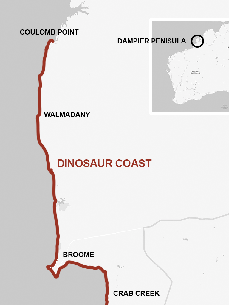
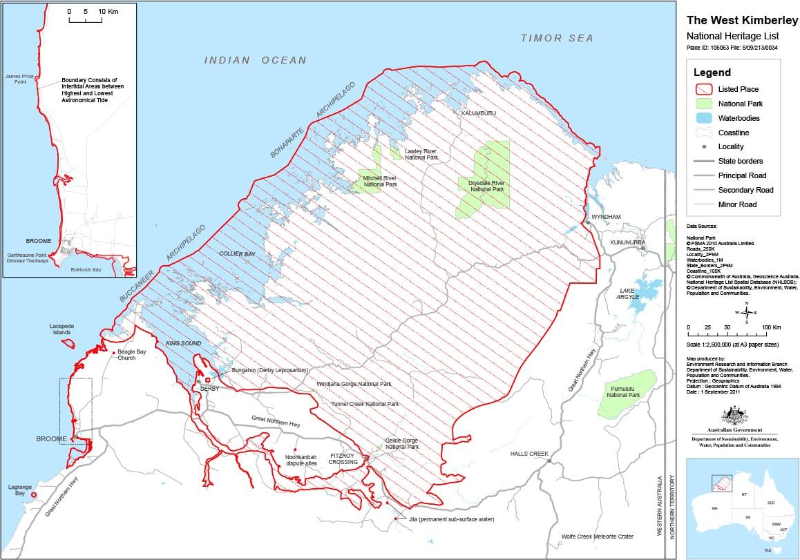
Image Credit: Environment Research and Information Branch – Department of Sustainability, Environment, Water, Population and Communities
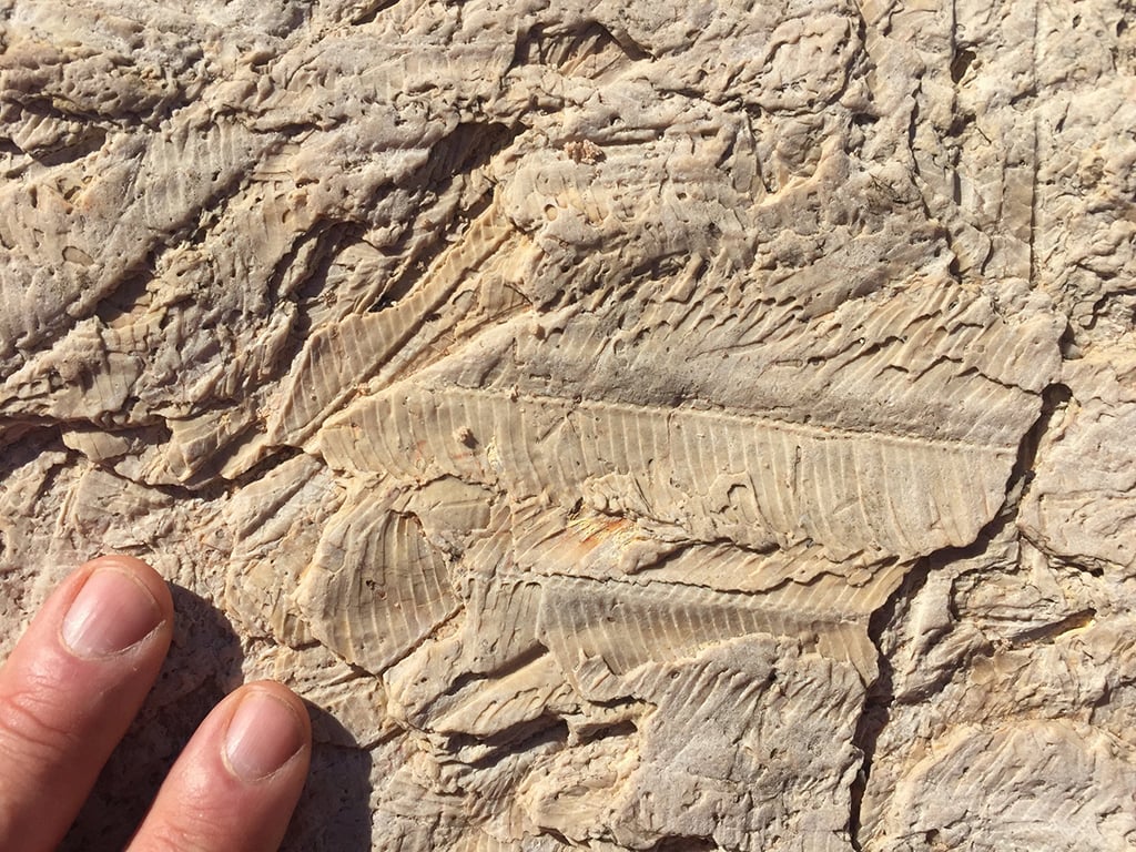
Credit: Photo Steve Salisbury.
360º Panoramas
Do you want to see what the Dinosaur Coast may have been like 130 million years ago? Check out our 360º Panoramas!
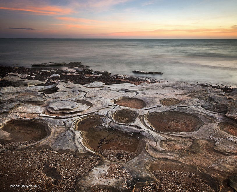
Image Credit: Damian Kelly
Dinosaur Coast National Heritage Management Plan
This first ever management plan focuses on approximately 50kms of the coastline around Broome from Crab Creek along the shore of Roebuck Bay, around Town Beach to Entrance Point, northwest along Reddell Beach to Gantheaume Point then north along Cable Beach and terminating on the southern shore of Willie Creek.
Strong link between dinosaur tracks and Aboriginal creation stories
The song-cycle that includes stories of Marala extends along the length of the Dinosaur Coast from Bunginygun (Swan Point, Cape Leveque) to Wabane (Cape Bossut, near La Grange) and then inland to the south east, over a distance of approximately 450kms.
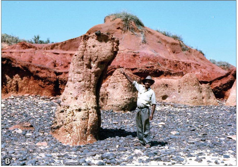
Image Credit: Photo courtesy and copyright Kim Akerman
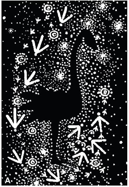
Image Credit: Artwork courtesy and copyright Jo Manjun
Scientifically important
Australia’s only dinosaur fauna during 140 and 127 million years.
The Dinosaur Coast forms the primary record of non-avian dinosaurs in the western half of the continent and provides the only glimpse of Australia’s dinosaur fauna during the first part of the Lower Cretaceous Epoch of the Mesozoic Period 140 to 127 million years ago.
Further reading
Read the research published in 2017 by The University of Queensland’s School of Biological Science and James Cook University’s School of Earth and Environmental Sciences.