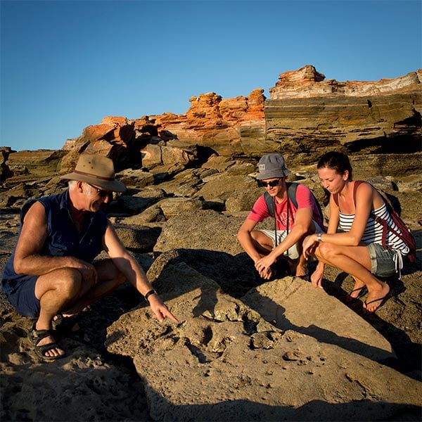
Walk with a Palaeontologist
Associate Professor Steve Salisbury explains the key features of a site near Broome in an 8 minute film.
Track site key features
Searching tips
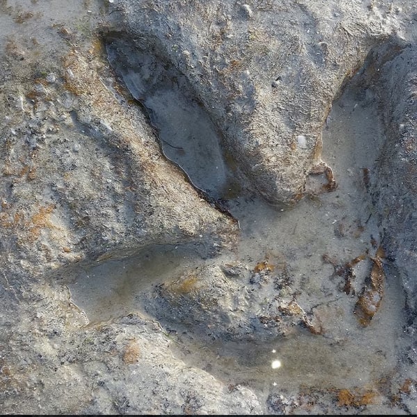
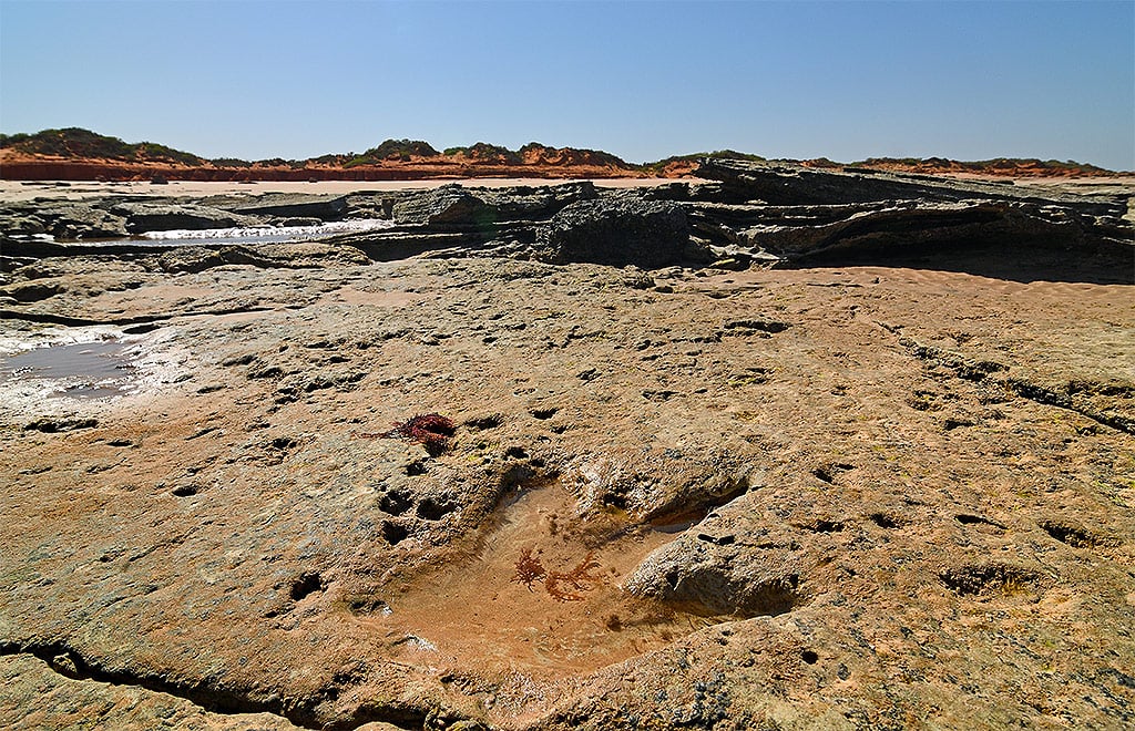
Remember the footprints are only found in the rock known as Broome Sandstone.
Look for rock that varies in colour between light reds -> light brown -> white -> pinks and often has subtle ‘lines’.
More about the tides can be found here.
Dinosaur Coast Track Guide App
Please note
This app is NOT a track locator and has no GPS functionality. The Dinosaur Coast Track Guide App shows you where to go to find tracks and the best times to see tracks.
The App contains photos of how the tracks weather or erode (all tracks erode differently). Spend some time and ‘get your eye in’ before you go tracking.
The coastline is very dynamic and sand shifts constantly, so sometimes the footprints are hidden, or others may be revealed.
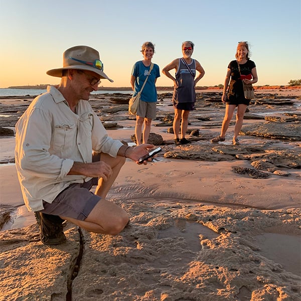
When you find a footprint
Occasionally a small team of DCMG volunteers/scientists might be seen cleaning and drying the tracks. This is only done when the tracks are being documented for scientific purposes.
Repeated cleaning out sand is the fastest way of wearing away the tracks so please do not do it.
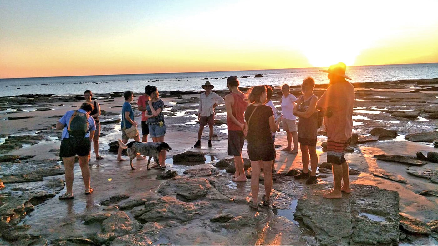
Understanding the tides
These bulges of water (high tides) are greater when there is a new or a full moon, and are referred to as spring tides. Then, seven days later, there is a neap tide when the sun and moon are at right angles to each other and the ‘bulges’ are not so pronounced.
When the sun crosses the celestial equator and day and night are of approximately equal length — known as equinox — on or around 21 March and 23 September, exceptionally high and low tides occur, called King Tides.